Our Services
Elevate your content with our high-quality drone footage that brings your vision to life.

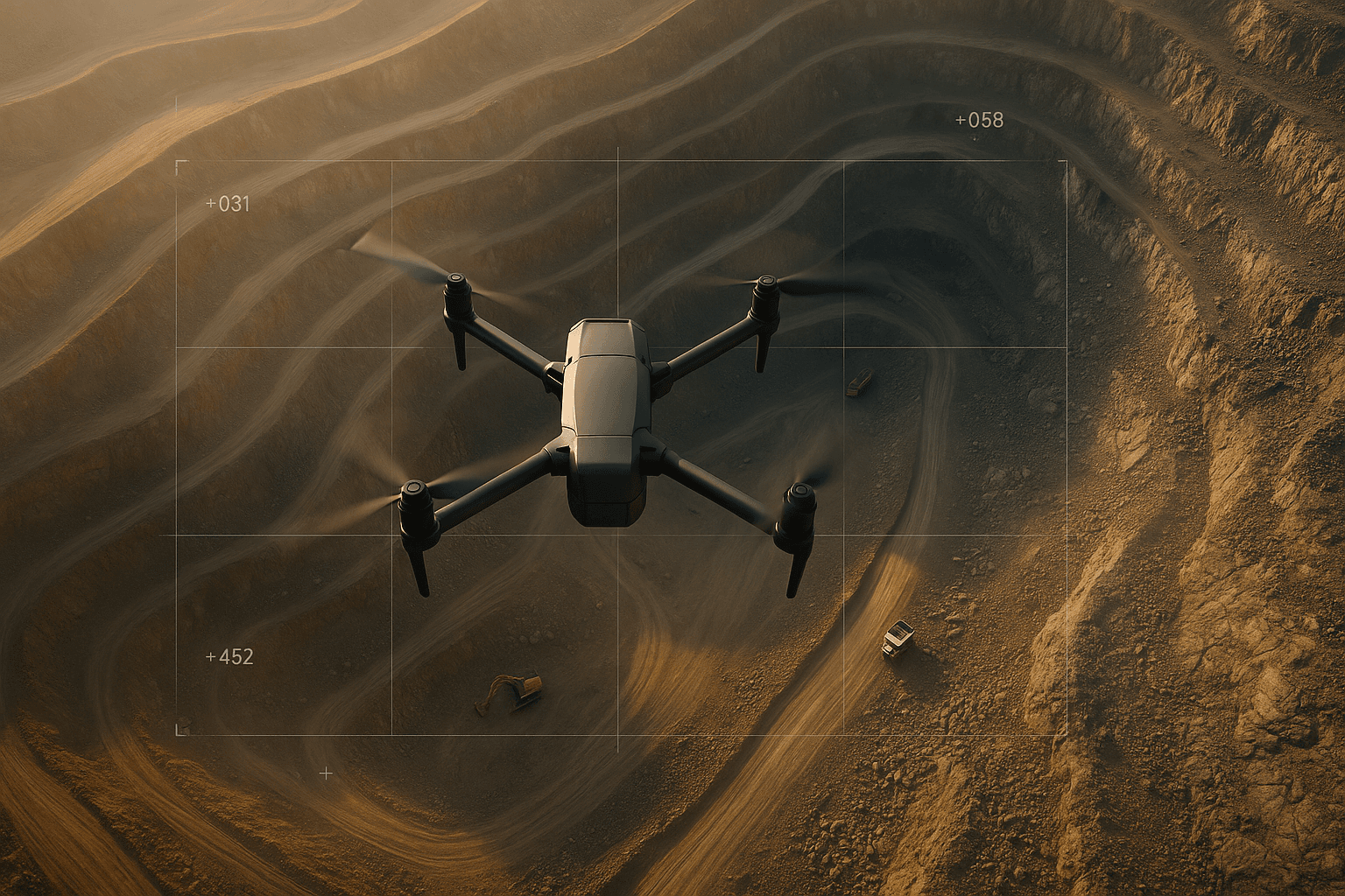
Aerial Surveys
Our aerial surveys service harnesses the power of drones to provide comprehensive and accurate data collection from above.
- High-precision mapping
- Real-time data collection
- Volumetric analysis
- Topographic surveys

Aerial Inspection
With our team of skilled drone operators and cutting-edge equipment, we capture stunning aerial images and provide a fresh and immersive experience.
- 4K Ultra HD resolution
- Professional editing
- Immersive perspectives
- All-weather capability

Lease Mapping
We offer precise Lease Mapping services using AutoCAD for legal, mining, and property documentation with pinpoint accuracy.
- AutoCAD-based layout precision
- Compliant with mining regulations
- Boundary & plot demarcation
- Optimized for legal documentation

Excavation Machinery Rental
Rent high-performance excavation machinery like JCBs and Excavators for mining, construction, and site prep work.
- JCB & excavators available
- Flexible rental terms
- Operators included on request
- Ideal for mining & digging tasks