About Lensman Survey
Pioneering geospatial solutions with advanced drone technology and a passion for precision.
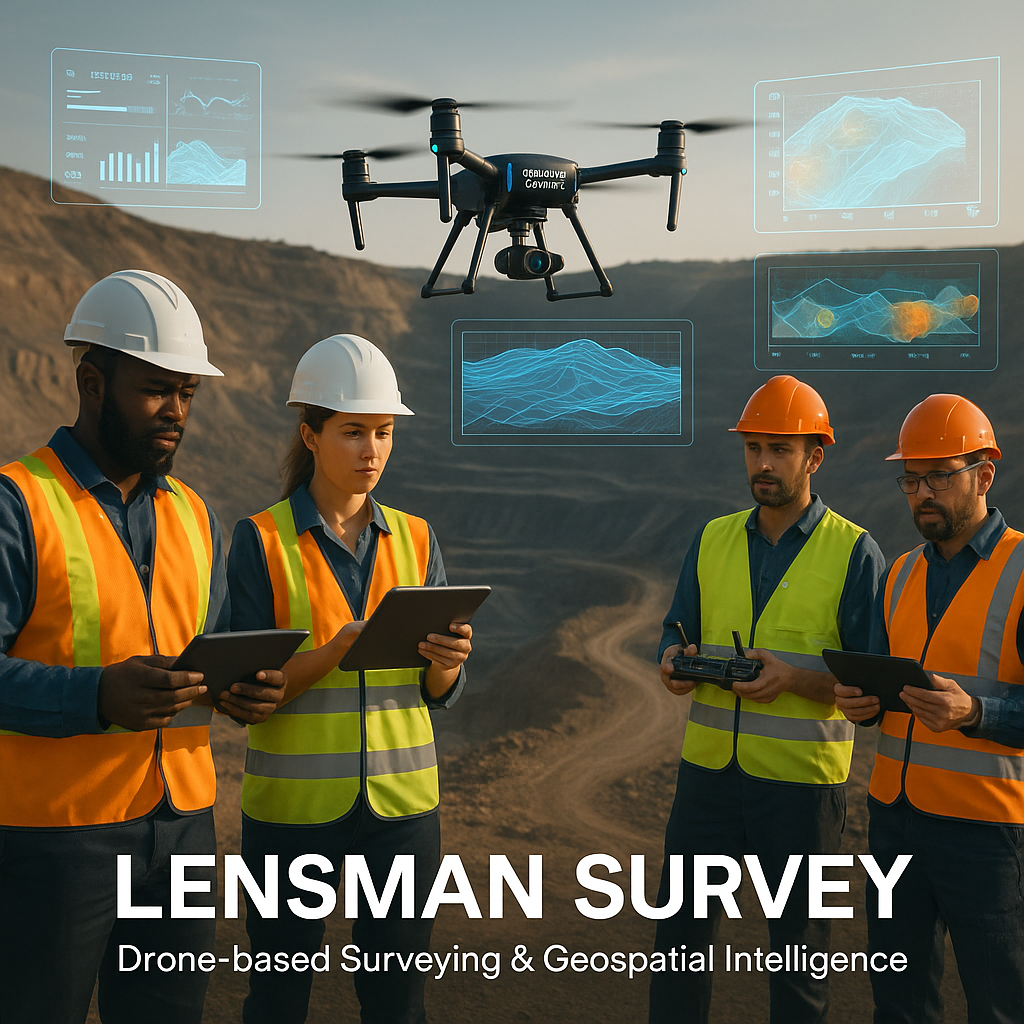
Pioneering the Future ofGeospatial Technology
Lensman Survey is a leader in drone-based surveying and geospatial analytics. With a commitment to innovation and safety, we empower clients in mining, construction, and land development to make data-driven decisions.
Our team combines years of field experience with the latest technology to deliver accurate, actionable insights that drive project success and operational efficiency.
Our Core Values
These fundamental principles guide every decision we make and every service we provide
Innovation
We embrace new technologies and creative solutions to stay ahead in geospatial science.
Safety
Safety is at the core of every project, ensuring reliable results and peace of mind.
Creativity
We turn data into actionable insights and compelling visualizations for our clients.
Collaboration
Working closely with clients and partners, we achieve the best outcomes together.
Meet Our Expert Team
Our diverse team of professionals brings together decades of experience in surveying, technology, and client service

Arun Kumar Acharya
M.Tech, M.Sc. Pollution Control, LLB, RQP
Visionary leader with 20+ years in mining and geospatial innovation. Passionate about precision and client success.

Tejovrash Acharya
B.Tech Computer Science & Astrophysics(USA)
Expert in software development and drone technology. Leads technical innovation and project management.

Laxmi Narayan Chura
M.Sc. Geology
Seasoned geologist with deep expertise in mining geology and project coordination. Bridges technical requirements with client expectations to ensure seamless project execution.

Ravindra Harsh
BA, DGCI Drone Pilot
Expert in geospatial analysis and field operations management. Transforms complex survey data into actionable insights while coordinating on-site teams for optimal results.

Ashish Kiradoo
Drone Pilot
Drone pilot and field engineer specializing in aerial surveying operations. Ensures precision data capture and maintains safety protocols across all field activities.

Shreenath Bariya
BA, Drone Pilot
Skilled field engineer focused on equipment deployment and site logistics. Coordinates technical operations and ensures quality standards are met in challenging terrain conditions.